Spurs PR updates
If you live in the Whitewebbs Ward you probably received a pamphlet from THFC with an update on their proposals .
I would urge everyone to read it very carefully, paying close attention to the detail. There is a lot of very careful phrasing which does not reveal the full story. Note what is not said as well as what is.
I would draw your attention to the information about paths, bridleways and cycle ways. The maps, even if enlarged, fail to give full information. It remains unclear as to who will be paying for what or where the funding for specific items comes from. The reports of the “consultation” are far from complete unlike the details of the much larger FOWW survey (see www.whitewebbspark.org.uk).
There are significant omissions such as arrangements for the Old Course of the New River. Now that is a “historic” feature unlike the carriageway to the carvery which is just a 19th Century driveway of no “historic” importance.
If you have not commented on the document and its content please do so. We would not like to give the impression that “silence indicates consent”.
Some Key Points
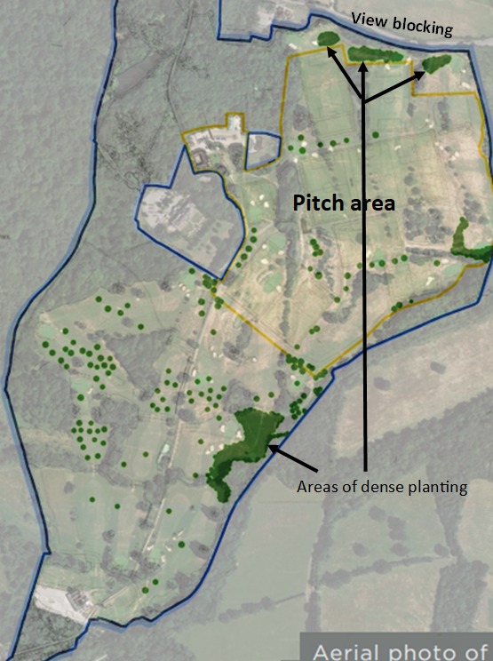
The maps in the pamphlet are too small to see the detail. The online pdf versions can be enlarged. This is an example—the tree planting scheme is overlaid on the Google Earth type aerial view. The scheme fills in the long vistas looking northwards. This will hide the landscape changes caused by the pitch creation and will spoil the long views and the open feel of the park. The thick tree planting in the north will block the views southwards from Whitewebbs Lane
This map counters the “only using 18% of the park” argument favoured by Spurs and LBE. The pitches will occupy about 50% of the open land. The yellow line marks the pitch area. This map demonstrates the real impact on open space
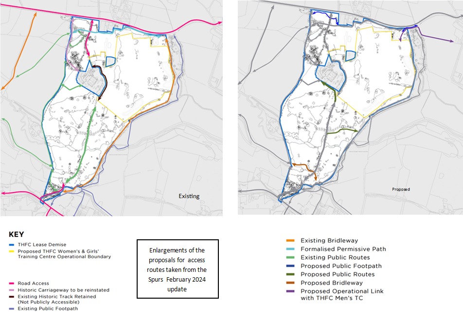
Enlargement of the other maps showing “Access” shows how confused and limited the plans for pathways is. Riders should, I suggest, look closely at the plans (and lack of plans ) for the bridleways both statutory and permissive. The colours with the various indistinct shades of blue are difficult to distinguish. The proposal that a bridleway be located across the busiest pedestrian and dogwalking area looks reckless.
The only firm information about bridleways is that eastern one will have both a cycle lane and a riders lane. There is no information about the permissive bridleways. As before it is far from clear as to who will be paying for the various paths other than those within the leased area.
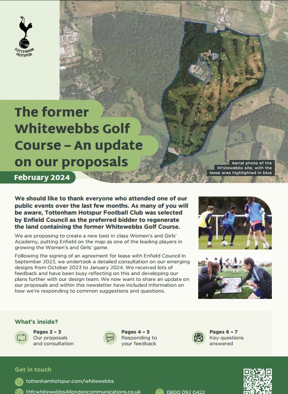
The pdf version of the brochure can be found on here