The Friends of the Park keep some maps and activity sheets in the shelter next to the cafe. Their presence can’t be guaranteed so you might want to download your own copies from the links below:
The first two are walks to explore the natural rewilding / nature restoration taking place in the meadow area. You might like to compare this with the planting programmes for the Enfield Chase project.
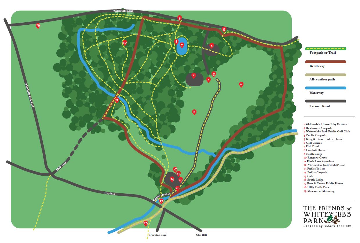
These walks are designed to guide people around the area that Enfield Council wants to dispose of to THFC. The planning application from Spurs has been submitted and this map indicates the main effects. Whatever you may think it is a good walk and I hope that you find it interesting.
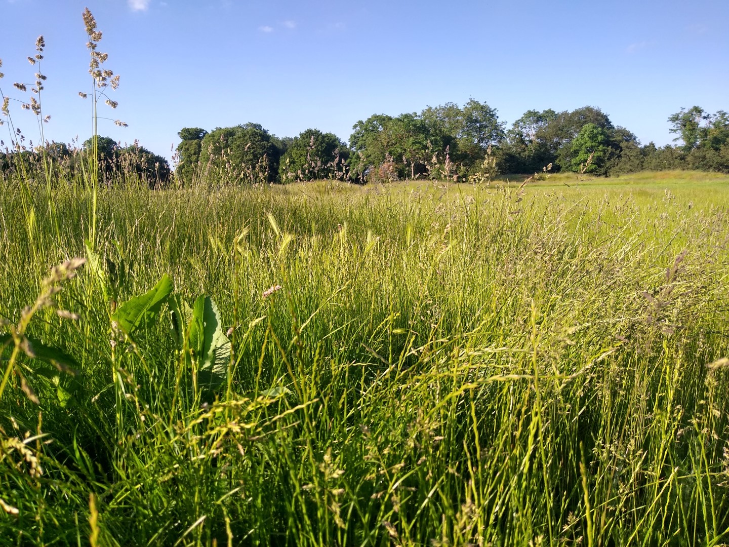
Whitewebbs Park is undergoing a process of renaturing, some call it rewilding (others, benign neglect). In less than twenty years the meadow has changed dramatically. Since closure two years ago the golf course has made a good start to the process – just try counting the number of oak seedlings and saplings that have established themselves. This walk will help you explore the meadow areas either side of Cuffley Brook. Believe it or not there was a cricket pitch here not that long ago. (Has anyone got photos of the pitch?)
Whitewebbs is part of an arc of open space linked by pathways. This map shows the links with Forty Hall and Hilly Fields.
The Old Course of the New River loops through the park. This remarkable piece of engineering was built using bits of string and sticks for measurement – no laser levels then. All the heavy digging was done by muscle force alone. These two leaflets provide maps and brief details.
Tree, bird, insect and fungi spotting guides from the Woodland Trust
https://www.woodlandtrust.org.uk/trees-woods-and-wildlife/identify-wildlife/
Wildlifewatch.org.uk has a large number of activity sheets – well worth a look. They cover animal, bird, tree and plant identification plus lots of things to do at home and in the outdoors.
https://www.wildlifewatch.org.uk/activities